About Us
Projects
ESG
Investor Centre
Large Epithermal Gold System Hosting 3.1Moz gold and 22Moz silver in Indicated and Inferred Resources with significant scope to grow - lateral and depth extensions set to be tested
The Dynasty Project is a development ready gold project 100% held by Titan Minerals, with high grade epithermal gold and porphyry style copper mineralisation confirmed by drilling.
The Project comprises 5 contiguous concessions with a total area of 139km2, with permitting in place for exploration and small-scale mining.
Dynasty is located in the Loja Province in southern Ecuador, approximately 5 kilometres from the town of Celica, which has a population of approximately 5,000 people, where the Company has accommodation and access to labour. The Dynasty Project is around two hour’s drive from to the Catamayo airport, which has twice daily flights to Quito.
Access to the Project is via sealed Highway (E68), where adjacent to the highway the Company has a fully equipped exploration office with purpose-built core storage facilities, located on the Project’s northwestern lease, Zar 1. Access to the Cerro Verde prospect is approximately 1 kilometre by gravel roads from the Company’s office facilities. The project has power, water, and internet coverage to the office facilities.
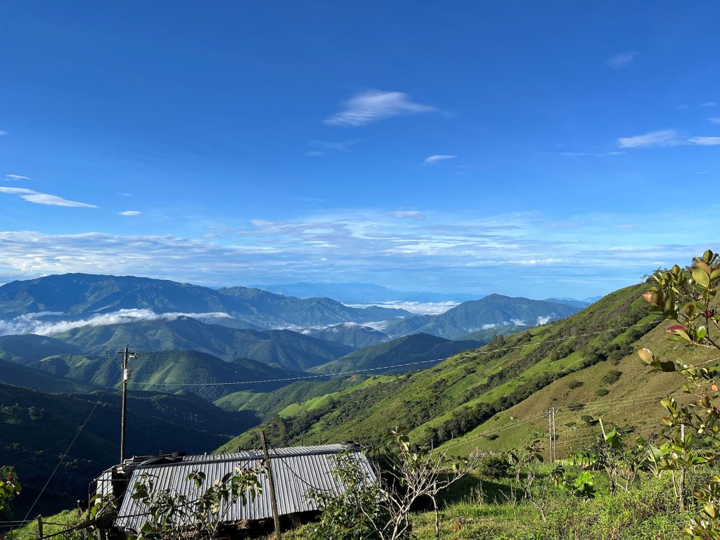
The project elevation average is ~1,200m and is covered by a mix of pasture and forest, with most landowners at the project being pastoralists. Exploration conditions are excellent with field work possible all year round, and diamond drilling capability 24 hours per day. Ecuador experiences a wet season for approximately 2-3 months of the year between March and May, where a higher level of rainfall is experienced, but this seldom affects exploration activities.
Dynasty hosts Indicated and Inferred Mineral Resource Estimate of 43.54 Mt at 2.23 g/t Au & 15.7 g/t Ag for a contained 3.12 million ounces of gold and 21.98 million ounces of silver, published July 2023, for full details refer to ASX release here Dynasty Maiden JORC MRE, July 2023
Dynasty Mineral Resource Summary:
Interpretation and estimation of the Mineral Resource is based on data from 394 diamond drill holes (63,342.54 metres), 85 channels (2,089.02 metres) and 1,599 trenches (6,743.54 metres). Drilling and trenching campaigns were completed by Titan Minerals Ltd in 2021 and 2023 and in several phases of drilling by previous project operators from 2007 to 2019.
The MRE provides a solid foundation for future resource growth and feasibility studies, in what Titan believes is a natural progression for the Dynasty Project, which has considerable exploration upside that remains to be tested targeting the 9-kilometre epithermal gold vein corridor and copper-gold porphyry mineralisation at the Kaliman, Cola and La Zanja prospects.
Substantial depth extensions to the epithermal Au-Ag vein system confirmed to 350m vertical in latest drill results at Brecha-Comanche (Cerro Verde), providing the confidence to test, and potentially add substantial resources through delineating depth extensions across the project. For further detail refer to ASX release here Dynasty Drilling Update- Cerro Verde prospect, July 2023 and here Dynasty Drilling Commences- Cerro Verde prospect, April 2023
Several high conviction areas for resource additions identified with minimal drilling required. Several significant drill intercepts were excluded from the resource due to uncertainty in geological interpretation in some areas. Minimal drilling required to improve geological understanding in these areas, representing potential near-term future resource additions.
Ongoing exploration work programs at the Dynasty Project include detailed surface mapping and surface geochemistry- soil, rock and stream sediment, channel and trench sampling programs.
Stream sediment sampling has been completed across primary and secondary drainage systems across the project, with each sample representing a catchment area of approximately 10 km². The stream sediment survey is aimed at assessing the exploration potential across the entire project area, particularly in the central and southern portion of the project, where no exploration has ever been completed.
Regional soil sampling programs have been completed across the southern portion of the Cerro Verde prospect, from Brecha-Comanche target towards the Kaliman Porphyry target and onto the La Zanja prospect in the south. A soil sampling campaign is currently being undertaken over the Papayal prospect.
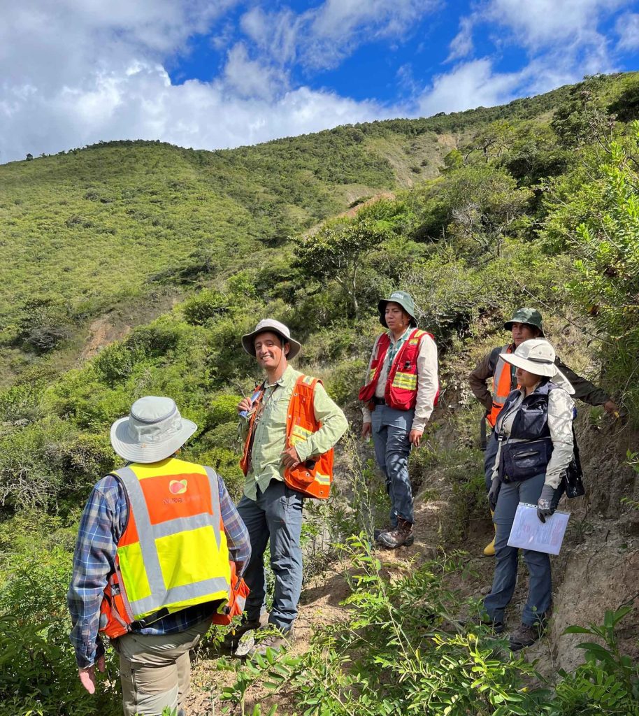
Titan’s focus to date has been the Cerro Verde prospect, where detailed geological mapping has been undertaken over the Brecha-Comanche, Foto, Encuentros, Gorda, and Regorda Vein Systems, and also the Kaliman and La Zanja porphyry targets. Following a recent exploration targeting exercise, mapping was also expanded to include the high priority Papayal, Trapachillo and Cola prospects, which represent excellent epithermal and porphyry gold targets which have the potential to significantly grow the current resource.
Mapping at the Cerro Verde prospect has identified shear zones predominantly trending NE-SW, with secondary shear zones trending N-S responsible for emplacement of dykes; and E-W extensional veins observed to host wider mineralised structures. The Kaliman Porphyry target exhibits characteristics of the shallow portion of a copper-gold porphyry system, with soil geochemistry and alteration mapped at surface indicating advanced argillic, phyllic and minor potassic alteration.
A LiDAR survey was flown over the Dynasty Project, with the high-resolution imagery and digital elevation providing excellent topographical control for the 3D geological model and forthcoming Mineral Resource Estimate.
SWIR (shortwave infrared) and VNIR 8 band (visible and near infrared) multi-spectral data has been acquired, and a multi-spectral study undertaken to refine exploration programs and target generation.
Quantitative and qualitative geological datasets assembled during 2022 and 2023 have enabled an improved geological understanding of several targets at the Dynasty Project. Given this improved understanding, the Company is now well positioned to drill test multiple high priority targets.
In addition to field activities, considerable advances have been made in upgrading geological software, data capture and storage systems. The new systems allow for rigorous data validation, streamlined company-wide real-time access to geological information, and enables field mapping to be captured directly into online GIS projects.